Download OnlyTrails
Real topographic maps, battery-smart offline GPS navigation, steepness profiles, and community trail junction notes.
Or continue in your web browser ›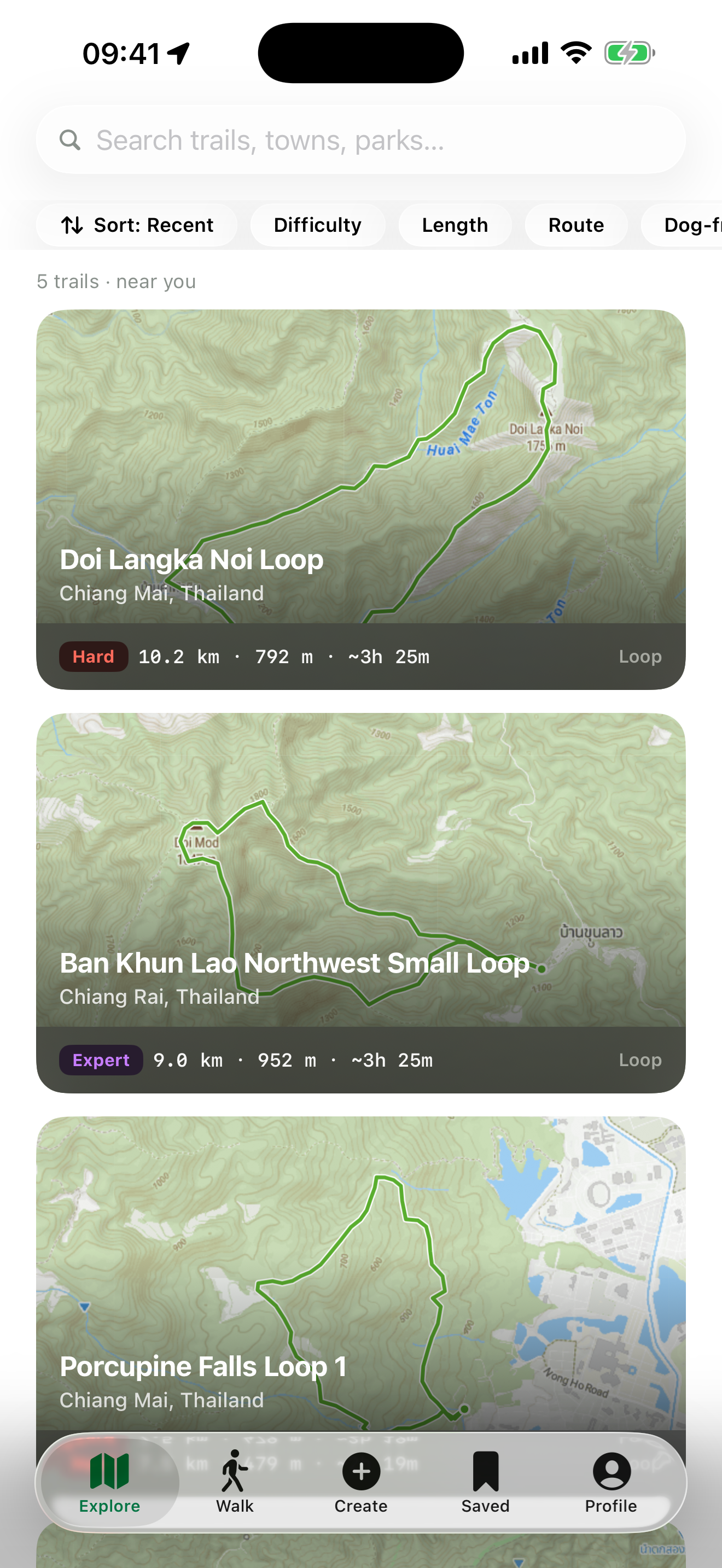
Real topographic maps
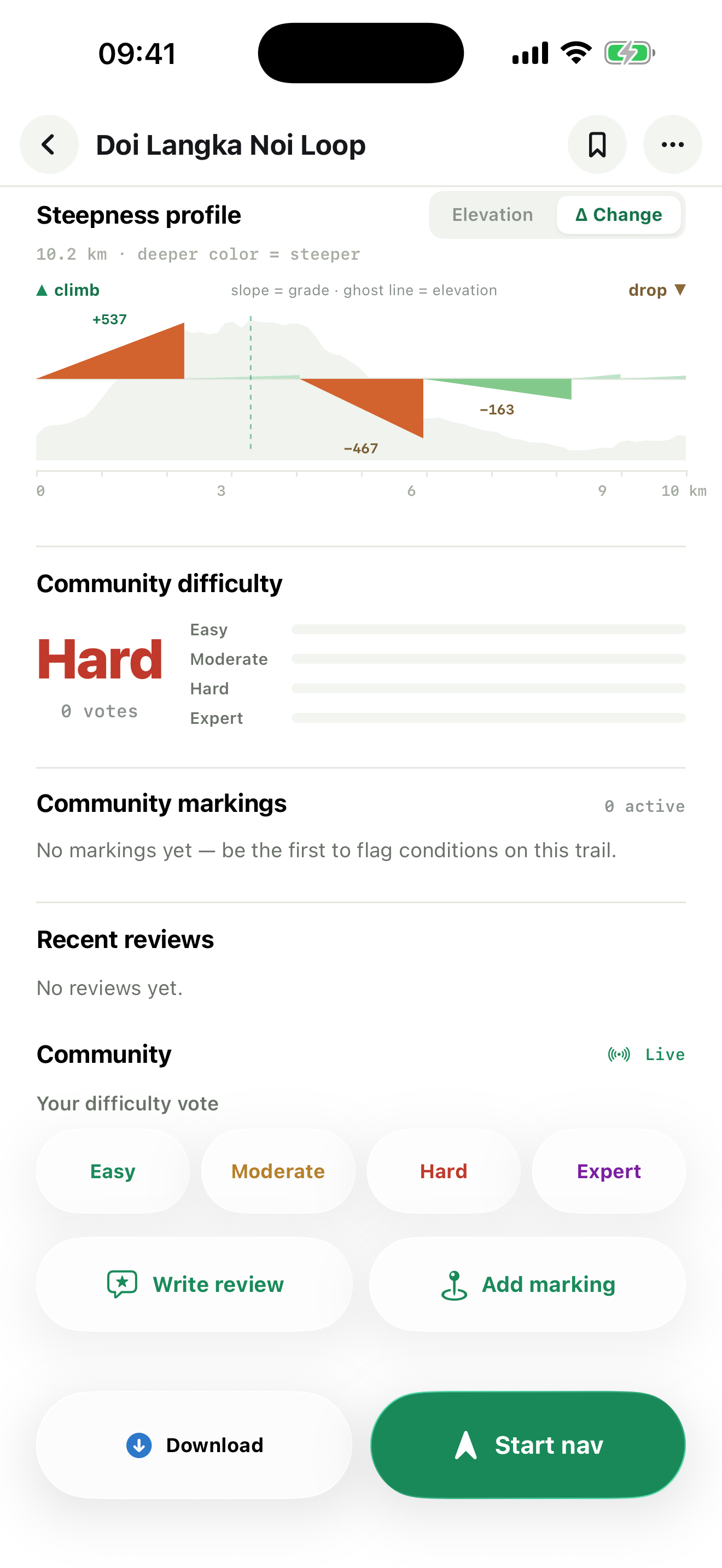
Contour lines and hillshade from OpenTopoMap, plus USGS Topo. Every trail is colored by steepness, with a full elevation and grade profile.
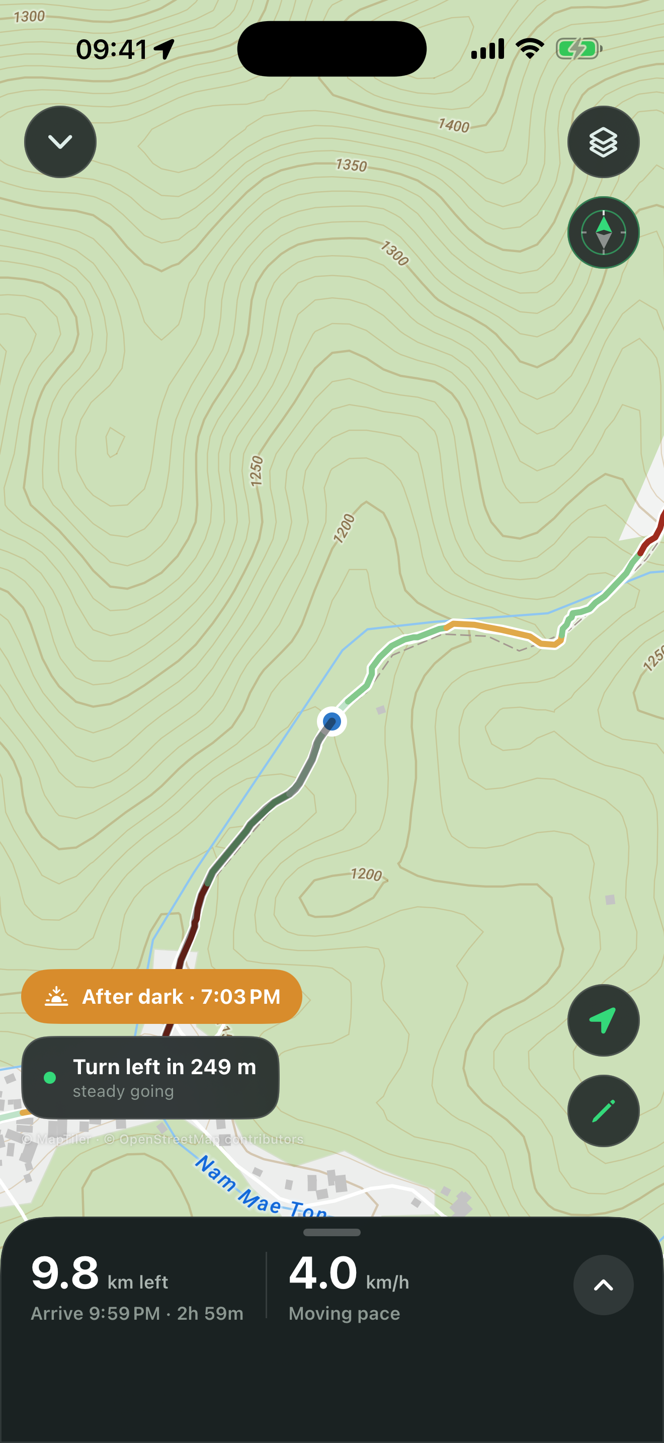
Smart Energy Save navigation
Adaptive GPS that drops to coarse between forks and leans on your phone's step counter to track progress — built to survive an all-day hike on one charge.
Import any GPX
Open a .gpx file from Files, email, or another app and get instant distance, elevation gain, grade, and difficulty.
Built by the community
Share routes, vote on difficulty, and drop junction markings — Bee swarm, Thorns, Slippery, Rockfall, Mud, Fork — so the next hiker knows what's ahead.
Draw your own route
Tap the map to sketch a route — it snaps to real trails as you go, with live distance, elevation, and time estimates before you save it.
Speaks your language
Fully translated into 19 languages, from Spanish and Mandarin to Thai and Hindi — switch anytime in Settings.
Ready to hit the trail?
Get the app for offline maps and turn-by-turn guidance in the backcountry.